Hovercraft Training Centers
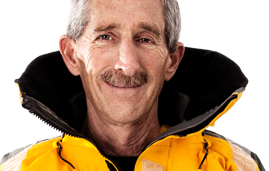
DR. STEVE ELGAR
Senior Scientist
Woods Hole Oceanographic Institution, USA
Commercial Hovercraft Pilot
“Our research would be impossible to perform without this vital tool.”
"I would never have gotten anywhere without training."
Beaches. Surf Zones. River mouths. Tidal Flats.
This convergence between two worlds - the amphibious spaces where land and water dance, comingle, collide - has always captivated Dr. Steve Elgar, an oceanographer with the Woods Hole Oceanographic Institute in Woods Hole, Massachusetts.
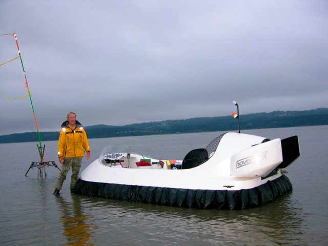
This also happens to be, as Dr. Elgar would discover, where hovercraft soar. Tasked with surveying a 25 kilometer area in the tidal flats north of Seattle, Elgar's team installed instruments across the terrain to measure currents, winds, and waves, and would need to visit them daily to take readings and clear seaweed and other debris that accumulate on the instrumentation due to the changing tides.
A Google Earth view of the Skagit River, the largest river flowing into Puget Sound and the focus of Dr. Elgar's research, portrays an elegant latticework of delicate fingers branching smaller and smaller, ranging across the low, flat landscape like Chantilly lace. The view from the ground, however, lacks such refinement.
Cutting a broad five meter swath, the tidal range transforms from a sandy, muddy muck at low tide to channels as deep as two meters at high tide - beset on all sides by jagged lines of trees and other obstacles. The problem Dr. Elgar faced, then, was how to gain reliable daily access to an area that is not only inherently difficult to access, but in constant flux.
In the past, Dr. Elgar's team employed an armada of access vehicles: ATVs, boats, cumbersome SCUBA gear. That is, until Dr. Elgar discovered hovercraft. …
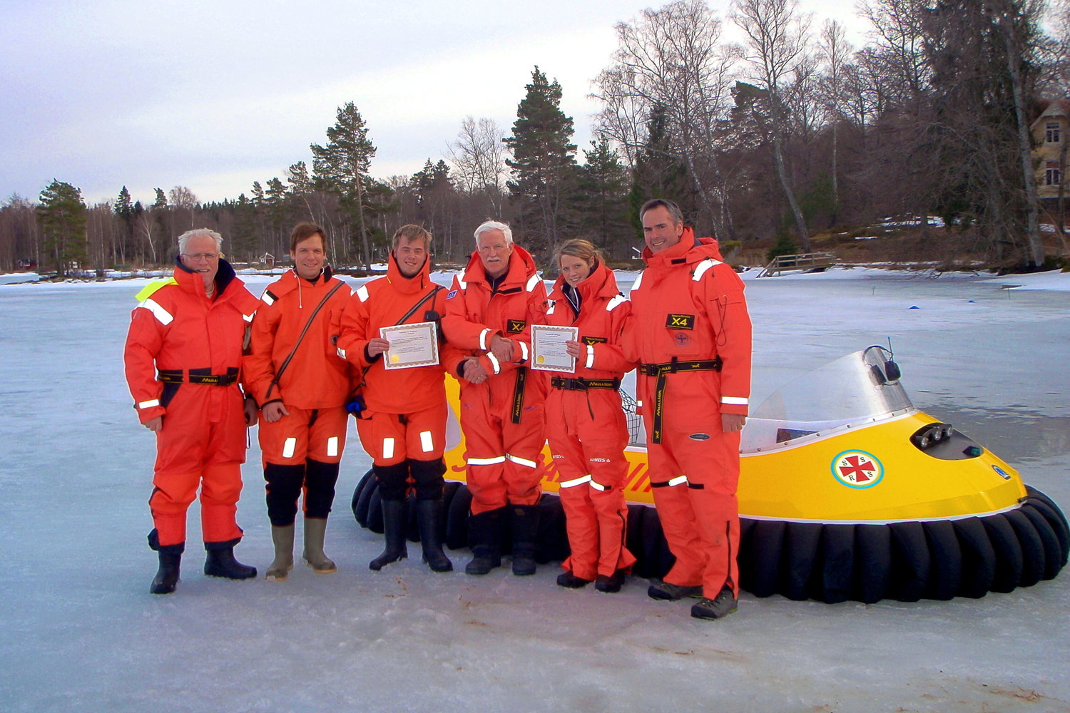
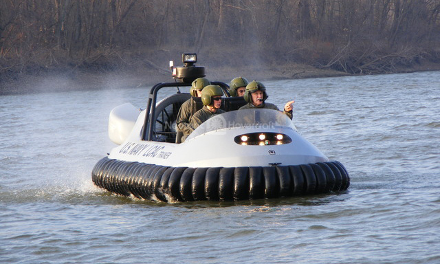
Train beyond geographical boundaries: Dr. Elgar spent hours hovering across the channels, over mud and sand. Hovercraft Training Centers prepare technicians, researchers and construction workers to use hovercraft to get the job done where other solutions fail. See more photos of their craft at work ….
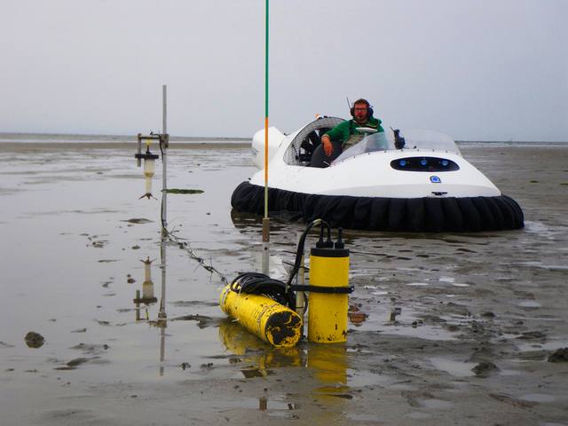
Dr. Elgar's team uses their hovercraft for daily equipment maintenance and for research. See more uses for commercial hovercraft…
